Introduction
While travelling south from Canada to the Gulf of Mexico shoreline I was able to convince my travel companions that we should take a detour to see the Mississippi River. When we began studying our road maps I was surprised to discover that there did not appear to be any scenic river view highways along the banks of the Mississippi River. The only option available to see the river was to find a highway travelling westbound that crossed over the Mississippi River on a bridge.
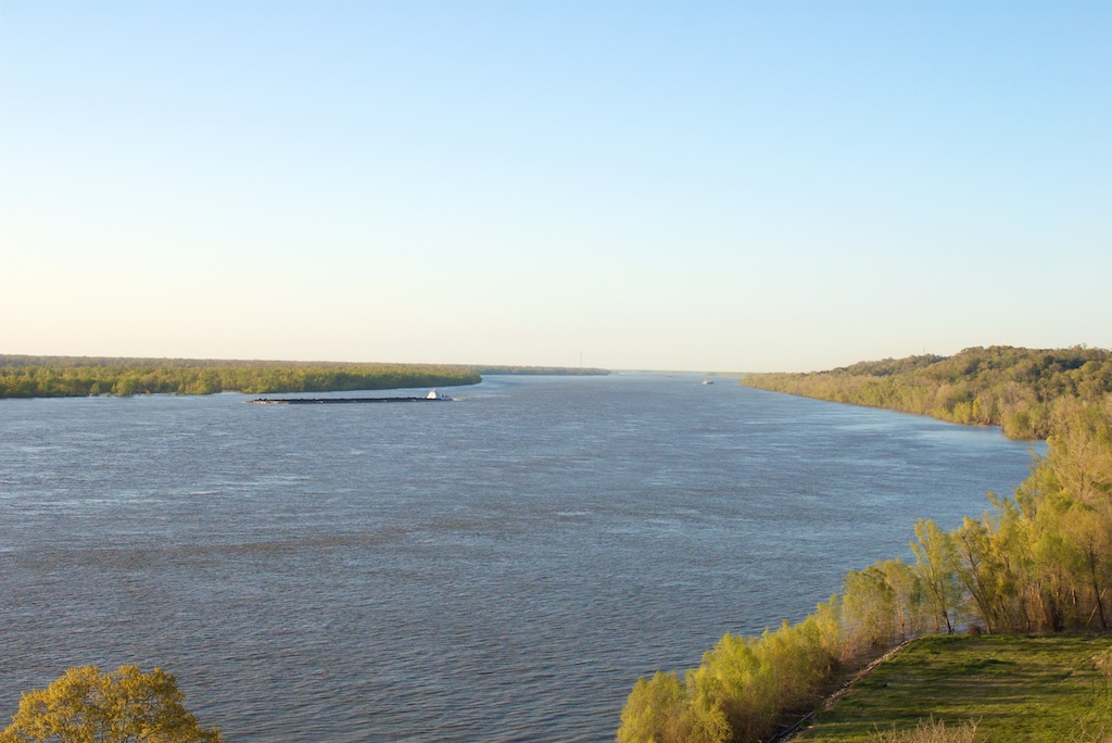
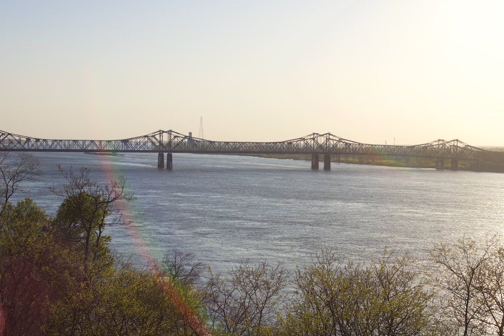
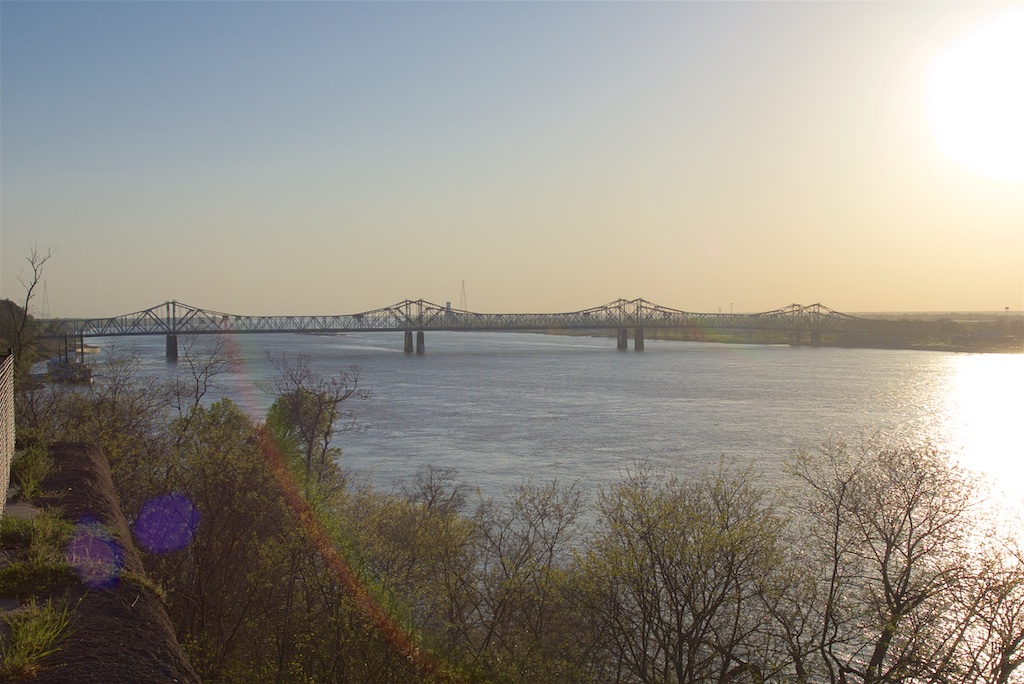
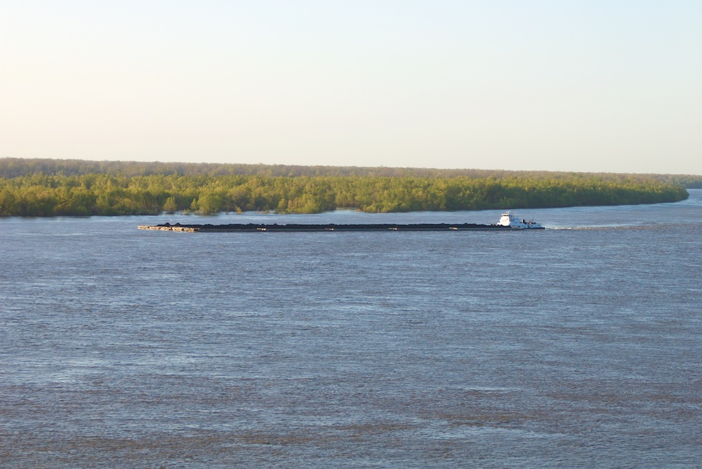
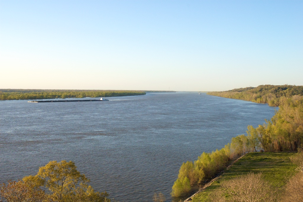
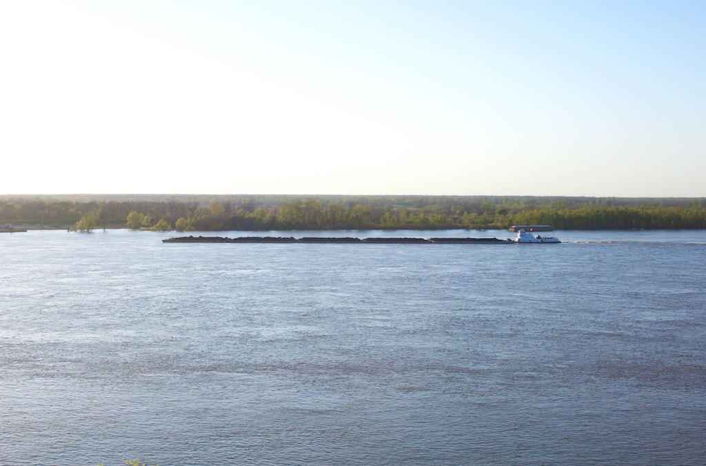
Most of these photographs were taken at the first bridge we found crossing the Mississippi River. There was a small community at each end of the bridge. I was able to get off the highway in the state of Mississippi and found a small park at the top of a cliff overlooking the river. The Mississippi River is overflowing its river banks and flooding some of the surrounding land.
When we crossed over the bridge and visited the community in the state of Louisiana we quickly discovered that they did not want any tourists that week. They were too busy with bulldozers and dump trucks trying to build a dirt wall - which they called a levee - to protect themselves and their buildings from the flooding river. The levee completely blocked their view of the river.